
Satellite images (also Earth observation imagery, spaceborne photography, or simply satellite photo) are images of Earth collected by imaging satellites.
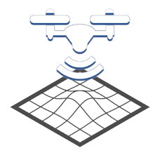
Aerial imagery is a type of photo of the earth, taken from above by airborne sensors, mounted on platforms such as airplanes helicopters, or drones.
Getmapping provides both Aerial and Satellite imagery, for different user applications.
Satellite images have greater large-scale scientific applications; for example, Satellite images are used by meteorologists to capture changes and details of the atmosphere and enable forecasting of events.
Comparatively, Aerial photographs show the texture of the ground in much greater detail and therefore have greater commercial applications. Aerial imagery is used for updating maps and for studying surface features – creating richer modelling and data rendering experiences to users.