Intech Survey


Surveying & Mapping Service

Membuka Kekuatan Survei LiDAR: Merevolusi Pengumpulan dan Analisis Data

whatsapp, whatsapp icon, whatsapp logo-6860919.jpg   Hubungi Kami


Jasa Survey Akurat & Tepat
Dengan Kualitas Terbaik

UAV Lidar Survey

land Survey

Survey Topografi

Pemetaan Udara

Batimetri Survey

Lorem ipsum dolor sit amet, consectetur adipiscing elit. Ut elit tellus, luctus nec ullamcorper mattis, pulvinar dapibus leo.

LiDAR Boresight Calibration and Strip Alignment – Part 2

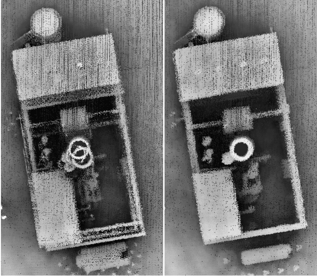
Understanding the Role and Impact of Each on your UAV-LiDAR Missions This blog (second in a two-part series) continues our explanation of the variables which influence boresight calibration and strip alignment when flying drone-based LiDAR missions. If you missed the first part of this series, we recommend you check it out before continuing with this …

LiDAR Boresight Calibration and Strip Alignment – Part 2 Read More »

LiDAR Boresight Calibration and Strip Alignment – Part 1

Understanding Two Critical Principles of LiDAR Data Acquisition If you are familiar with any type of LiDAR data acquisition, you have likely stumbled across terms including ‘boresight calibration’ and ‘strip alignment’ (or strip adjustment). These terms relate to separate strategies for adjusting and aligning adjacent strips of aerial LiDAR data. In this blog (first in …

LiDAR Boresight Calibration and Strip Alignment – Part 1 Read More »

Road Surface Mapping with LiDAR – Part 2

Road Surveying using Geodetics’ Geo-MMS LiDAR Suite of Products The purpose of this blog – the second in a two-part series – is to continue to explain the capabilities of Geo-MMS LiDAR payloads for road surveys and highway scanning. We will explore the wider workflows surrounding the digital mapping of transport infrastructure and associated assets. …

Road Surface Mapping with LiDAR – Part 2 Read More »

Road Surface Mapping with LiDAR – Part 1

Leveraging your Geo-MMS for Detailed Road Surface & Infrastructure Modeling Following the economic downturn experienced in 2020, it is expected the US will significantly increase investment over the next number of years into the country’s infrastructure (e.g. roads, bridges, etc.), becoming a key catalyst for growth regeneration in the US and global economies. With this …

Road Surface Mapping with LiDAR – Part 1 Read More »

LiDAR Sensors, Simplified: Part 1 – LiDAR System Point Density, Returns and Beam Divergence

A Guide to Understanding LiDAR Sensors Function & Capability The purpose of this blog (first in a two-part series) is to explain the various metrics used when discussing Geo-MMS LiDAR sensor characteristics and how to discern the oftentimes overwhelming information provided by LiDAR sensor manufacturers. This information is being provided so that our customers have …

LiDAR Sensors, Simplified: Part 1 – LiDAR System Point Density, Returns and Beam Divergence Read More »

Geodetics Incorporated Joins AEVEX Aeropspace

Solana Beach, CA, October 6, 2020 — AEVEX Aerospace announced today its acquisitions of IKHANA Aircraft Services and Geodetics Incorporated. IKHANA Aircraft Services, headquartered in Murrieta, California, is a full-service provider of aircraft engineering, modification, and maintenance solutions. Geodetics Incorporated, headquartered in San Diego, California, designs, develops, and manufactures commercial high-precision positioning and assured navigation products and …

Geodetics Incorporated Joins AEVEX Aeropspace Read More »

Optimizing Base Station Location for Mobile Mapping

A Quick Guide for your Mobile LiDAR or Photogrammetry Mission Base station placement for aerial or ground based mobile mapping projects is one of the most critical factors to consider for successful PPK-RTK processing. Given the number of variables involved in enhancing navigation solution quality for such projects, base station location may seem like a …

Optimizing Base Station Location for Mobile Mapping Read More »

× Whatsapp